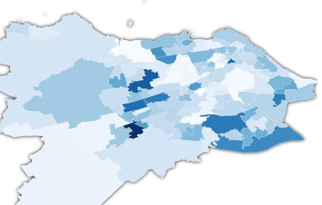
Coronavirus in Scotland: New interactive map breaks down Edinburgh coronavirus cases by neighbourhood


For the past three-months, the Evening News has been publishing picture articles using the most up to date information available from Public Health Scotland featuring the areas of Edinburgh with the most and fewest coronavirus cases.
Now, for the first time, the Evening News can offer our readers an interactive map that will be updated daily breaking down the latest figures by neighbourhood.
Advertisement
Hide AdAdvertisement
Hide AdPreviously this data was not available to download from Public Health Scotland, to access the information you had to go directly to their portal.
Now, all of the latest coronavirus data will be available in one user-friendly place, all you have to do is find your area on the map and you will see the full breakdown of the number of cases for the last seven days.
A message from the Editor:Thank you for reading this article. We're more reliant on your support than ever as the shift in consumer habits brought about by coronavirus impacts our advertisers.
If you haven't already, please consider supporting our trusted, fact-checked journalism by taking out a digital subscription.
Comment Guidelines
National World encourages reader discussion on our stories. User feedback, insights and back-and-forth exchanges add a rich layer of context to reporting. Please review our Community Guidelines before commenting.