Weather warning: Met Office issues season’s first amber warning of heavy snow across Scotland


The news of the warning comes after the Met Office issued a yellow warning of snow across Edinburgh this morning.
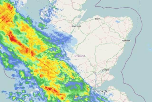
However, this has now changed to a more serious amber warning and will affect larger parts of Scotland.
Advertisement
Hide AdAdvertisement
Hide AdAreas affected by the heavy snow include central, Tayside and Fife, the Highlands, South West Scotland, Lothian and Borders and Strathclyde.
The snowy conditions are expected to begin at 3pm today, January 13 and last until 10am tomorrow, January 14.
Travel delays on roads are likely which will lead to some vehicles and passengers being stranded.
Some delays and cancellations to rail and air travel are also likely and there is a good chance that some rural communities could become cut off.
Advertisement
Hide AdAdvertisement
Hide AdPower cuts are likely and other services, such as mobile phone coverage, may be affected.
A Met Office Spokesperson said: “Rain will turn to snow across Scotland on Wednesday afternoon and evening, initially on high ground, but increasingly to lower levels.
"During Wednesday evening and night the risk of snow will extend southwards into more of northern England. 10 to 20 cm snow is likely to accumulate above 200 metres with greater amounts at higher elevations.
"Amounts at low levels (below 100 metres) are less certain, but 5 to 10 cm is likely in some places by Thursday morning. Snow will persist into Thursday morning, slowly dying out during the afternoon.”
Advertisement
Hide AdAdvertisement
Hide AdRAC, a service which offers roadside assistance, is urging drivers to think about whether they need to travel today as the predicted conditions threaten road safety.
Rod Dennis, RAC Breakdown spokesman said: “Conditions will deteriorate quickly and there’s a risk of routes getting blocked and vehicles becoming stranded.
“Anyone needing to make an essential trip should ensure their car is ready for the conditions and carry an emergency winter pack consisting of extra warm clothes and blankets, food and drink, torch and portable battery pack, in case they find themselves stuck or broken down.”
For the latest weather updates you can follow the Met Office’s interactive map here.